I closed my eyes briefly and remembered a conversation with
a geologist named Nir Margalit in front of Basalt Field in Arbel.
Explaining rock morphology has become a reality, at least digitally.
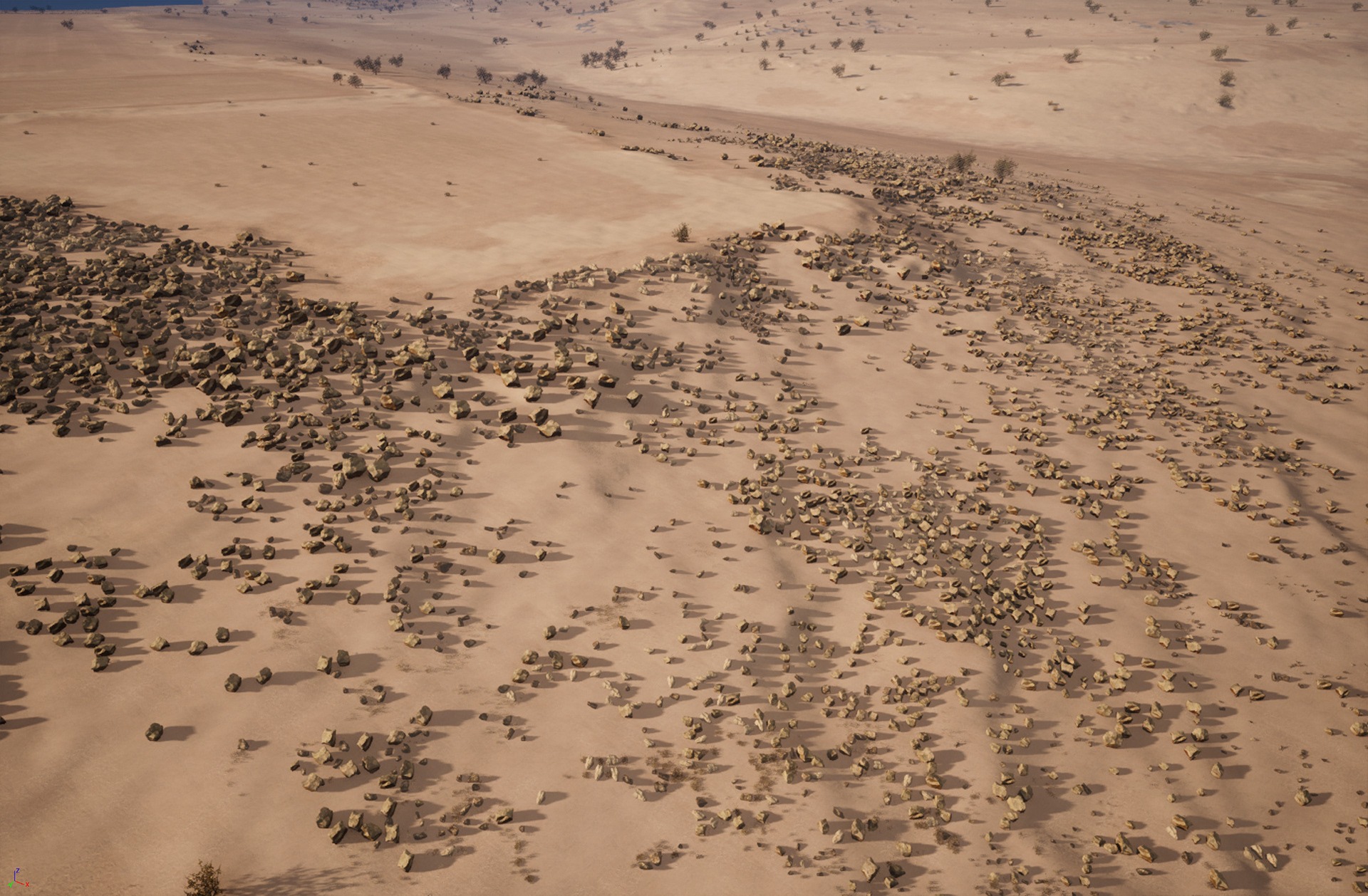
Now we have a basalt field that starts at the top with a large
and dense boulders... medium boulders in the center...and smaller
ones with less density at the bottom, near the drilling station.
And it's only half a square kilometer. Besides, you have
another 8.5 sq km to check and for training.
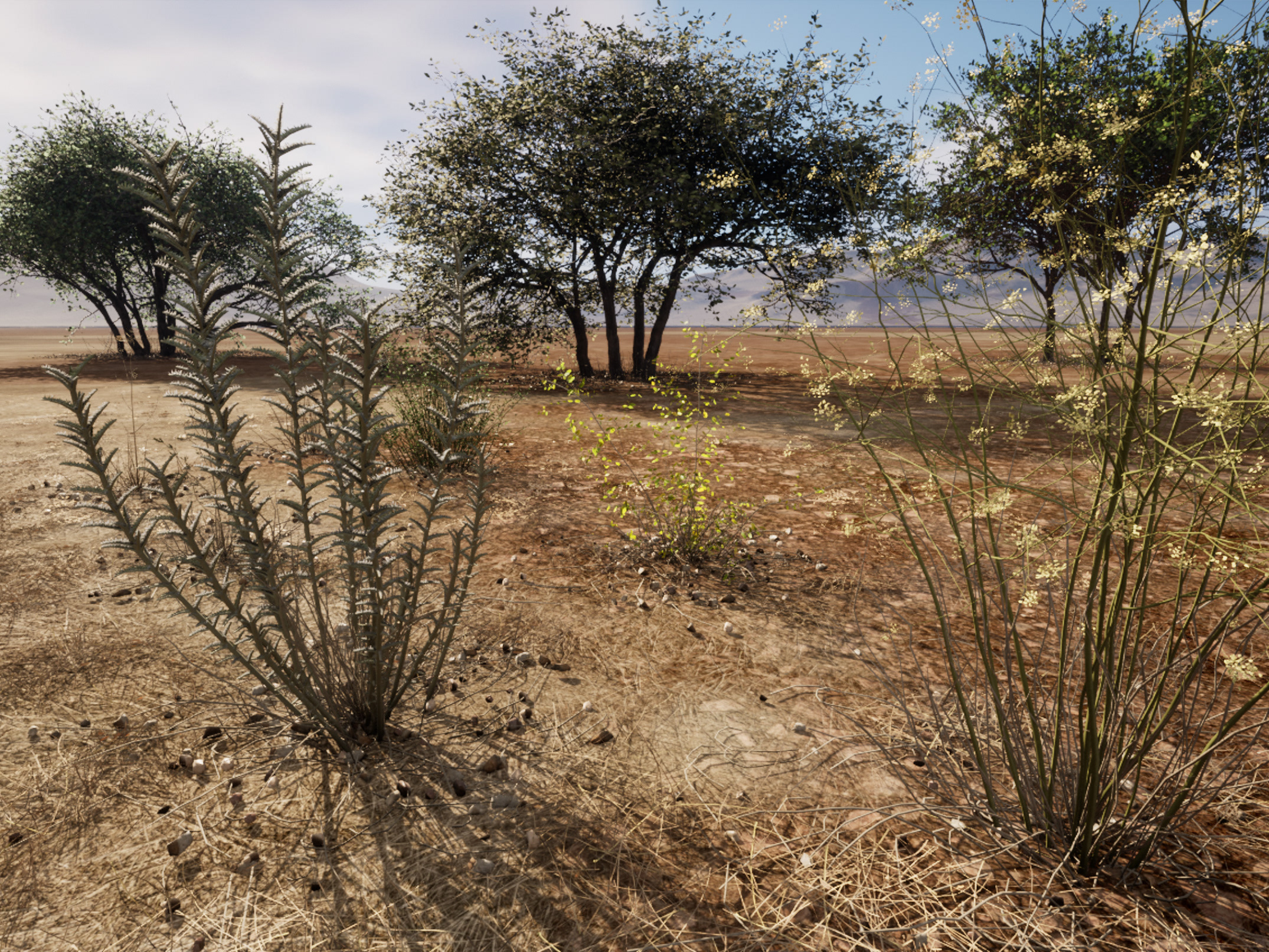
We have a matching resolution for soils, ground cover, and
low vegetation. We also have perfect synchronization between
the raw materials and all the mechanisms for painting,
sculpting, and scattering assets,
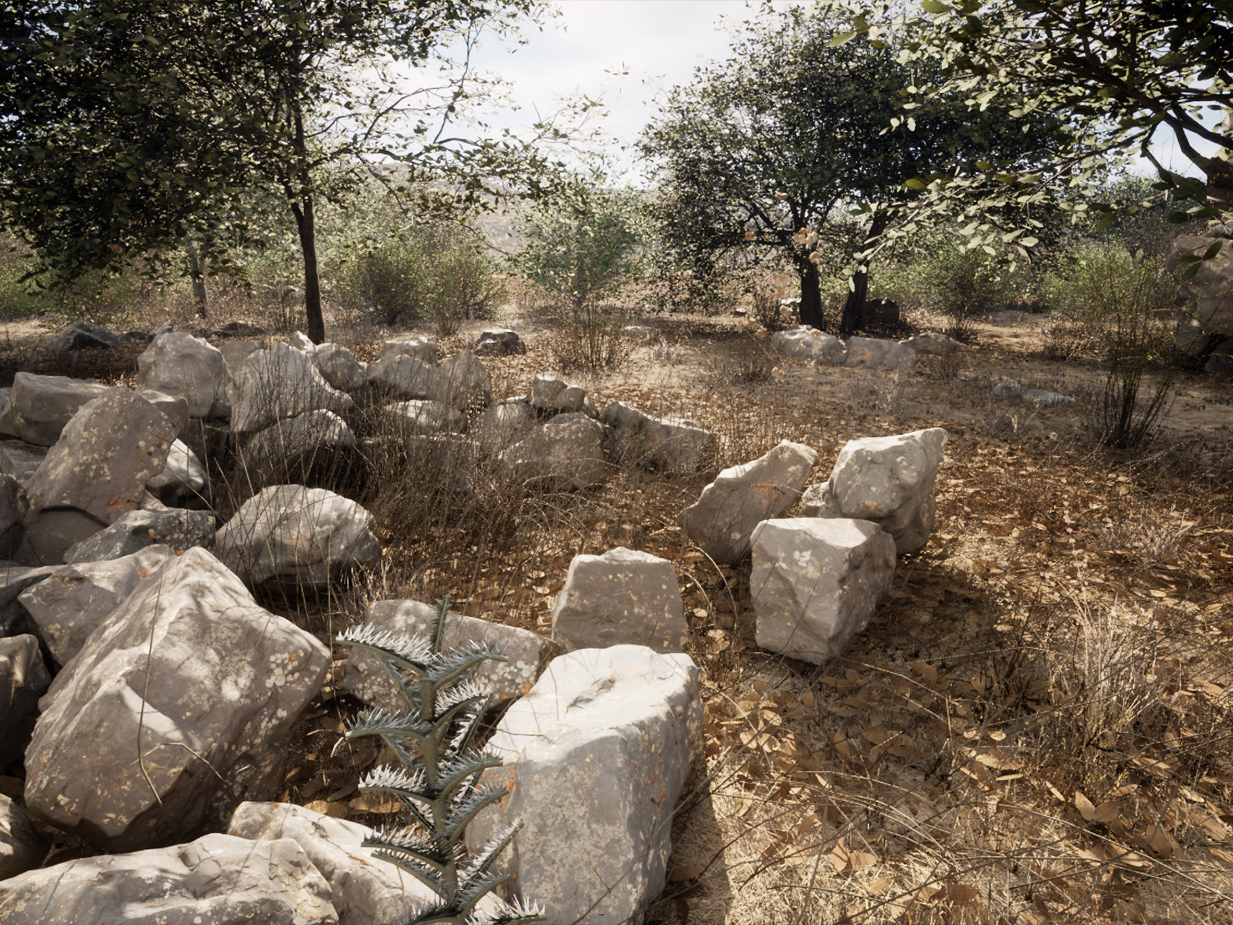
Even a 3-kilometer length paved road, 8 cm high.
And that's just from a visual aspect.
But you taught me that optimization is just as important.
So let me tell you a little bit about Performance.
The process is like looking for a needle in a haystack.
Not pretty and not for impatient people.
The good news is that we now have 9 sq km with
an average of 55 frames per second.
We also have a formula that works. And it's a formula that
guarantees similar performance in other training areas.
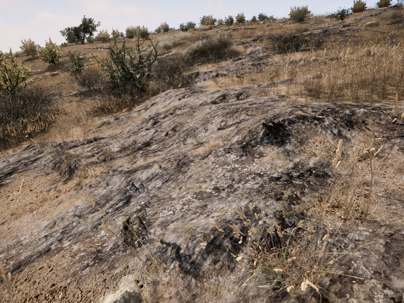
Nir Margalit also inspired me for some of the images below,
with 9 square kilometers of Arbel, from hip height.